Skip to navigation
Skip to the main content
Skip to footer
Back To Top
Search
Welcome, Please
Sign In
My Account
Sign In
Create an Account
My Profile
Order History
Track an Order
Wishlist
My Wishlist
(0 items)
Create a Wishlist
Help
Contact Us
Shipping
Returns
FAQ
0
Cart
Back to top
Skip to the main content
Skip to footer
Collectible Ornaments
Texas Capitol Collection
2026 Ornament Collection
2025 Ornament Collection
Wildflower Ornaments
Specialty Ornaments
View all
Texas Jewelry
Bracelets & Charms
Earrings
Necklaces & Pendants
Pins & Brooches
Cuff Links
Watches
View all
Home & Office
Texas Capitol Wood
Kitchen & Bar
Executive Gifts
Wall Décor
Pillows & Throws
Stationery & Desk
Gourmet Foods
View all
Texas Apparel & Accessories
Texas T-Shirts & Jackets
Scarves & Ties
Kids Apparel
Bags & Leather
Hats
Belt Buckles & Accessories
View all
Books & Media
History of Texas Books
Travel & Outdoor
Cooking & Barbecue
Kids
CDs & DVDs
Bookmarks
View all
Kids
Books
Apparel
Accessories
Toys & Games
View all
Art of Texas
Art of Texas: Artists
Art of Texas: Historic Maps
Art of Texas: Landscapes
Art of Texas: Portraits
Art of Texas: Texas Capitol
Art of Texas: Texas History
Art of Texas: The Capitol Skyline
View all
Texas Gifts & Souvenirs
New Arrivals
Texas Capitol
Texas Flag
The First Flag of Texas Collection
Davy Crockett
Gonzales Flag
Austin, Tx
Texas State Seal
Pets
Keychains & Magnets
Mugs
Toys & Games
Gift Sets
View all
On Sale
Search form
Search button
Texas Capitol Gift Shop
>
Art of Texas
>
Art of Texas: Historic Maps
Back to top
Back to navigation
Skip to footer
Art of Texas: Historic Maps
Refine by:
Refine by
Product Type
Product Type
Maps
Price
Price
Under $15
$15 - $30
More Ways to Shop
More Ways to Shop
New Arrivals
Made in Texas
Subject
Subject
Animals
Austin
County Maps
Maps
Clear All
View as:
Sort by:
Best Match
Price High-Low
Price Low-High
Newest
Oldest
Model A-Z
Model Z-A
Show:
15
25
45
» 100
1-100 of 103
Pages:
1
2
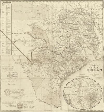
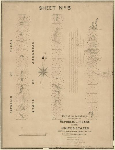
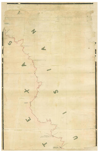
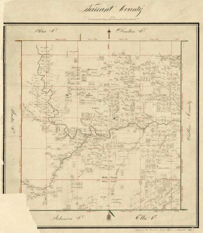
A. B. Gray
Part of the boundary between the Republic of Texas and the United States,...
Made in Texas
See options
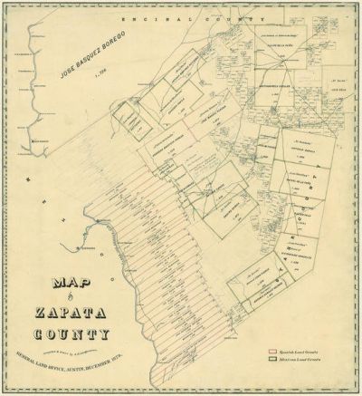
A. B. Langerman
Map of Zapata County, 1879
Made in Texas
See options
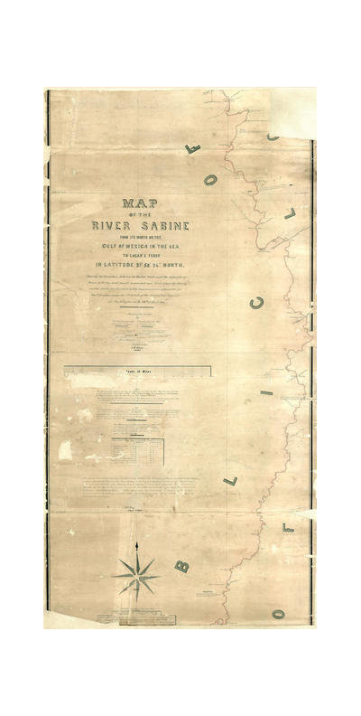
A.B. Gray
Map of the River Sabine from its mouth on the Gulf of Mexico in the Sea to...
Made in Texas
See options
A.B. Gray
Map of the River Sabine from its mouth on the Gulf of Mexico in the Sea to...
Made in Texas
See options
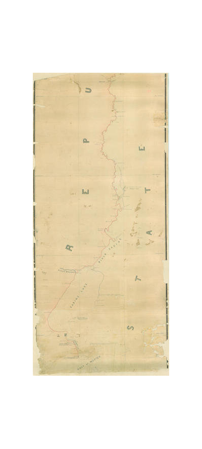
A.B. Gray
Map of the River Sabine from its mouth on the Gulf of Mexico in the Sea to...
Made in Texas
See options
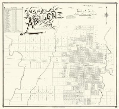
A.H. Kirby
Map of Abilene, ca. 1885
Made in Texas
See options
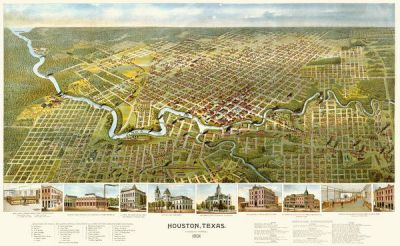
A.L. Westyard
Houston, Texas (Looking South), 1891
Made in Texas
See options
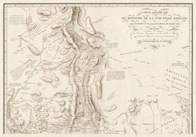
Alexandre Humboldt
Carte Generale du Royaume de la Nouvelle Espagne, Pt.1, 1804
Made in Texas
See options
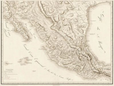
Alexandre Humboldt
Carte Generale du Royaume de la Nouvelle Espagne, Pt.2, 1804
Made in Texas
See options
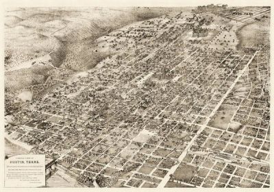
Augustus Koch
Bird's Eye View Map of Austin, Texas, 1895
Made in Texas
See options
Augustus Koch
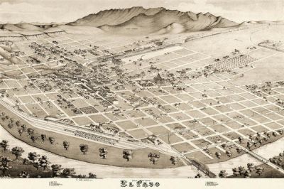
Bird's Eye View of El Paso, 1885
Made in Texas
See options
Augustus Koch
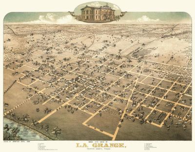
Bird's Eye View of La Grange, Fayette County, Texas, 1880
Made in Texas
See options
Austin Chamber of Commerce
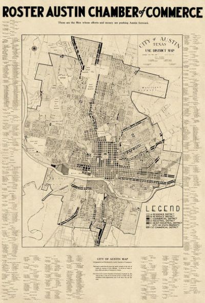
City of Austin, Texas: Use District Map with Chamber of Commerce Roster, 1939
Made in Texas
See options
Austin Chamber of Commerce
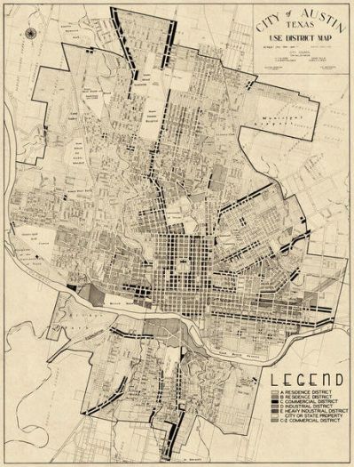
City of Austin, Texas: Use District Map, 1939
Made in Texas
See options
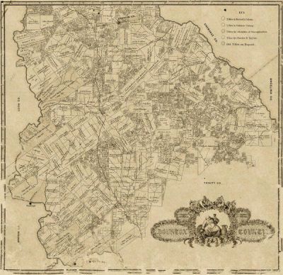
C.C. Stremme
Houston County, 1868
Made in Texas
See options
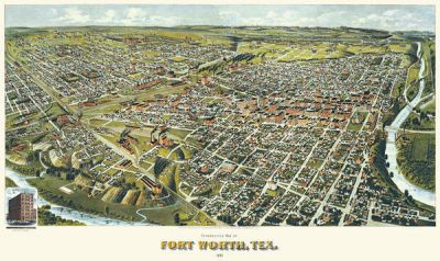
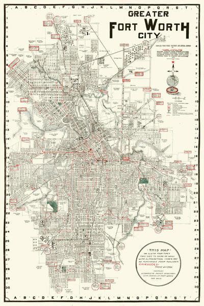
C.H. Rogers
Greater Fort Worth City, 1919
Made in Texas
See options
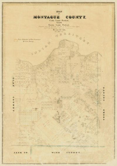
Carl Wilhelm von Rosenberg
Map of Montague County, 1858
Made in Texas
See options
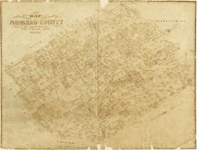
Charles W. Pressler
Navarro County, 1872
Made in Texas
See options
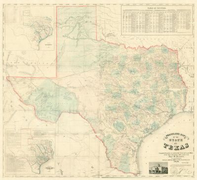
Charles W. Pressler
Pressler's Map of the State of Texas, 1858
Made in Texas
See options
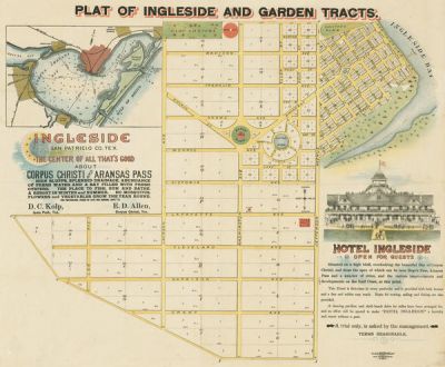
D. C. Kolp and E. D. Allen, publishers
Plat of Ingleside and Garden Tracts 1890
Made in Texas
See options
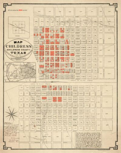
Denver Lithographic Company
Map of Childress, Childress County, Texas on the Line of the Fort Worth and...
Made in Texas
See options
E. A. Hausmann
Roberts County, 1889
Made in Texas
See options
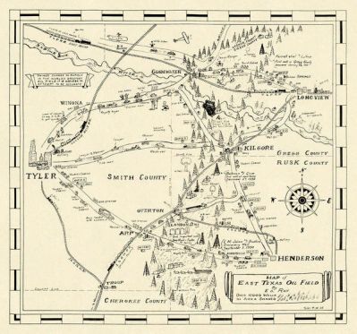
E.D. Ray
Map of East Texas Oil Field, 1933
Made in Texas
See options
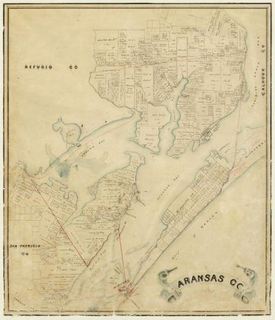
Eltea Armstrong
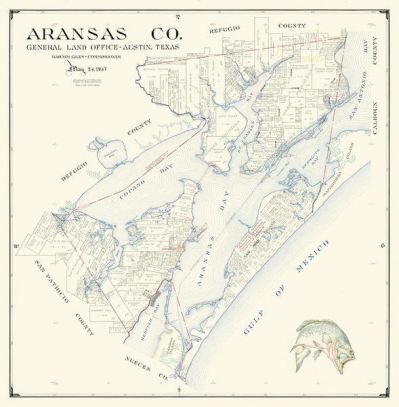
Aransas County, 1947
Made in Texas
See options
Eltea Armstrong
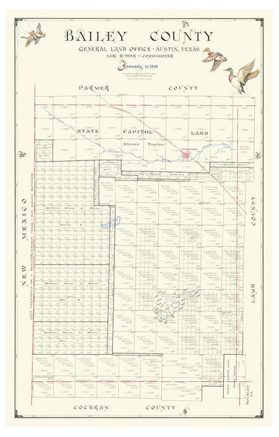
Bailey County, 1956
Made in Texas
See options
Eltea Armstrong
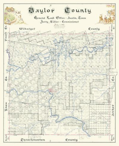
Baylor County, 1961
Made in Texas
See options
Eltea Armstrong
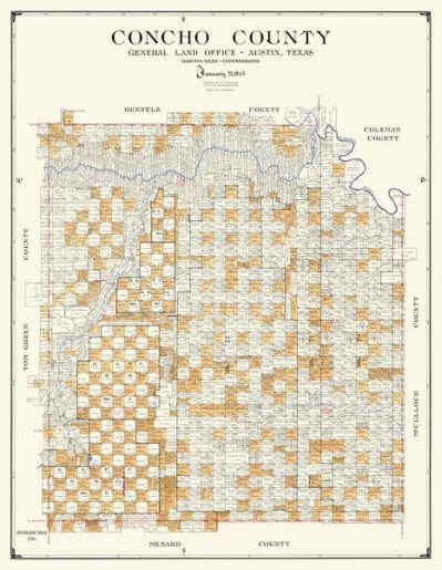
Concho County, 1947
Made in Texas
See options
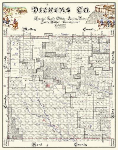
Eltea Armstrong
Dickens County, 1963
Made in Texas
See options
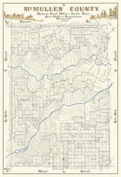
Eltea Armstrong
McMullen County, 1967
Made in Texas
See options
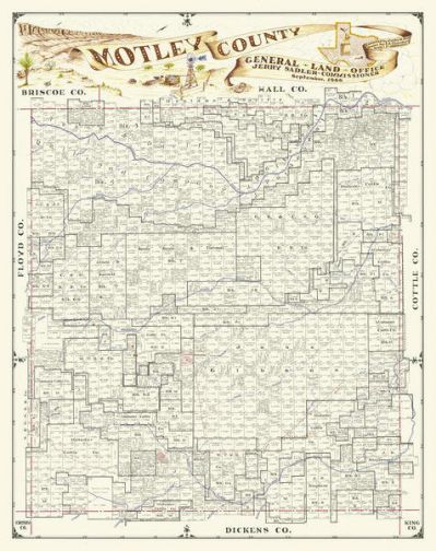
Curtis Hale and CE Chambers
Motley County, 1966
Made in Texas
See options
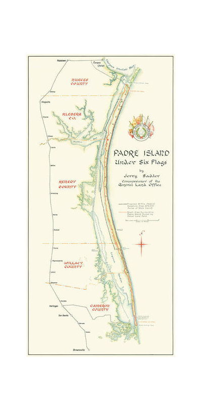
Eltea Armstrong
Padre Island Under Six Flags, 1962
Made in Texas
See options
Eltea Armstrong
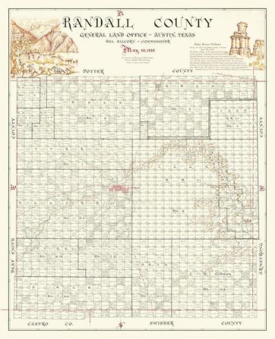
Randall County, 1958
Made in Texas
See options
F. G. Blau
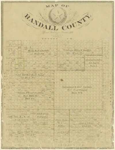
Randall County, 1892
Made in Texas
See options
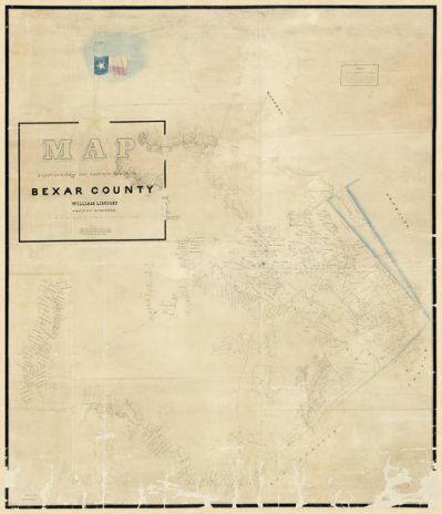
F. Giraud
Bexar County Sketch File 36c, 1874
Made in Texas
See options
F. H. Arlitt
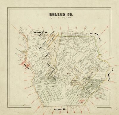
Goliad County, 1871
Made in Texas
See options
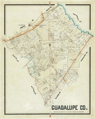
F. H. Arlitt
Guadalupe County, 1869
Made in Texas
See options
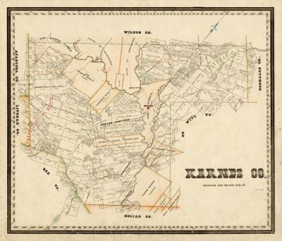
F. H. Arlitt
Karnes County, 1870
Made in Texas
See options
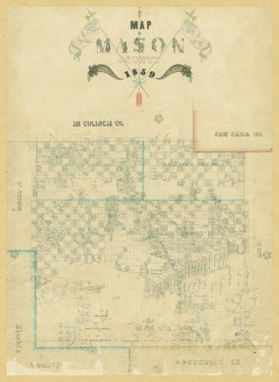
F. H. Arlitt
Map of Mason County, 1859
Made in Texas
See options
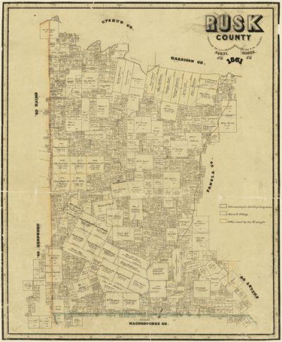
F. H. Arlitt
Rusk County, 1861
Made in Texas
See options
F.H. Arlitt
Tarrant County, 1856
Made in Texas
See options
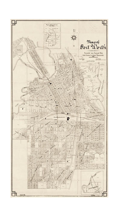
G.H. Frank
Map of Fort Worth, 1902
Made in Texas
See options
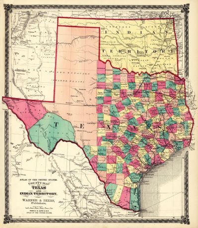
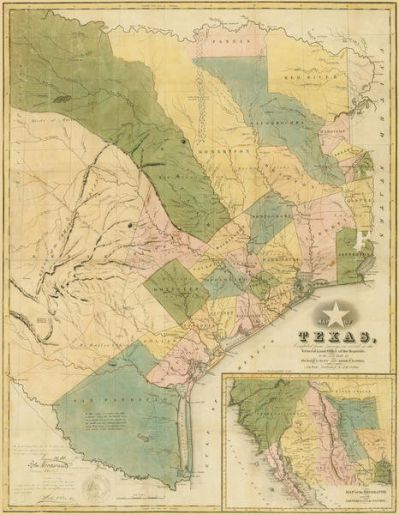
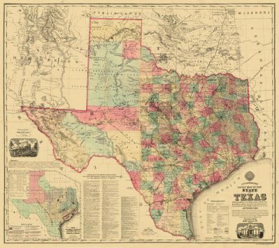
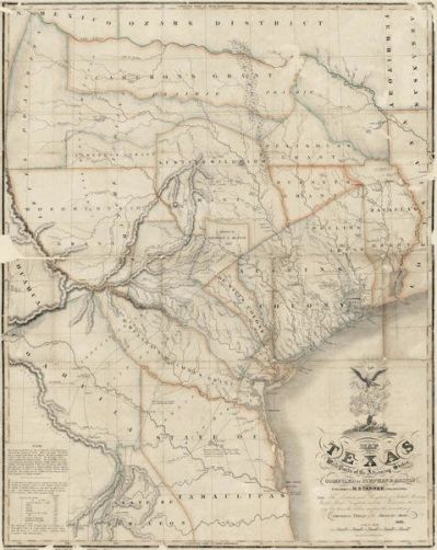
H. Groves
Map of the Republic of Texas shewing [sic] its division into Counties and...
Made in Texas
See options
H.H. Lloyd & Co.
County Map of Texas, and Indian Territory, 1874
Made in Texas
See options
H.L. Upshur
Surveys in Bexar County, 1839
Made in Texas
See options
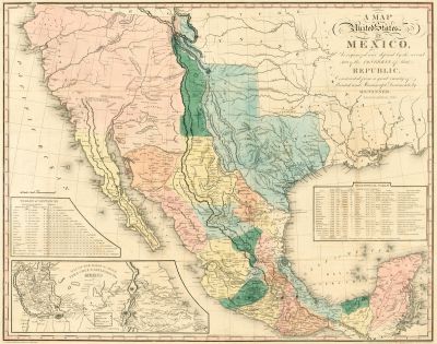
Henry Schenck Tanner
A map of the United States of Mexico : as organized and defined by the...
Made in Texas
See options
Henry Wellge
Perspective Map of Fort Worth, Tex., 1891
Made in Texas
See options
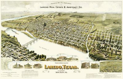
Henry Wellge
Perspective Map of the City of Laredo, Texas, the Gateway to and from Mexico,...
Made in Texas
See options
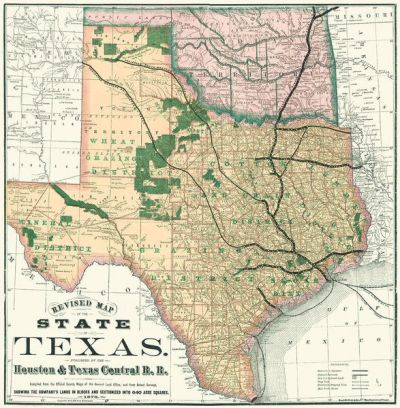
Houston and Texas Central Railroad
Revised Map of the State of Texas, 1876
Made in Texas
See options
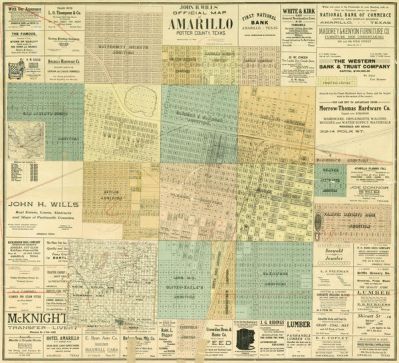
Howard T. Trigg
John H. Wills' Official Map of Amarillo, Potter County, Texas, 1909
Made in Texas
See options
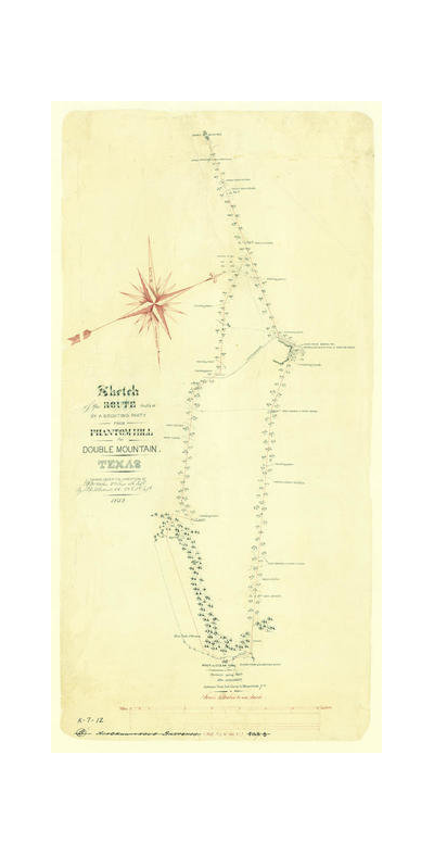
J. F. de B. Cotterell
Route taken by a scouting party from Phantom Hill to Double Mountain, Texas,...
Made in Texas
See options
J.H. Colton
Map of Texas, compiled from surveys on record in the General Land Office of...
Made in Texas
See options
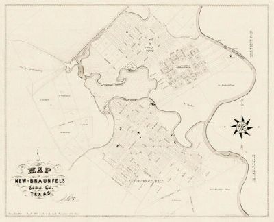
J.J. Groos
Map of New Braunfels, Comal County, Texas, 1868
Made in Texas
See options
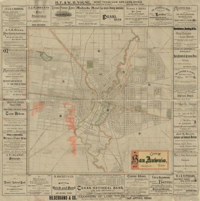
J.J. Olsen and Son
City of San Antonio, 1889
Made in Texas
See options
Jacob De Cordova
Map of the State of Texas Compiled from the records of the General Land...
Made in Texas
See options
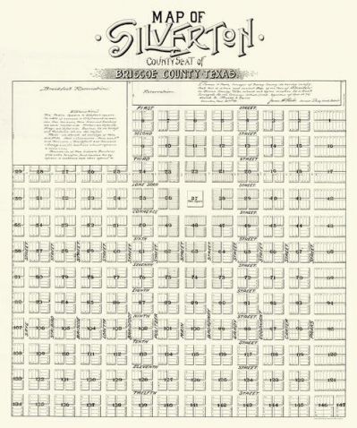
James H. Parks
Map of Silverton, County Seat of Briscoe County, Texas, 1891
Made in Texas
See options
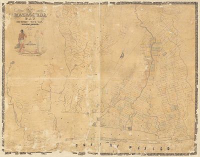
James H. Selkirk
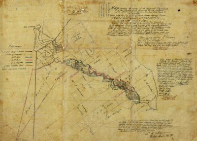
Map of Matagorda Bay and County with the Adjacent Country, 1839
Made in Texas
See options
John Arrowsmith
Map of Texas Compiled from Surveys recorded in the Land Office of Texas 1841
Made in Texas
See options
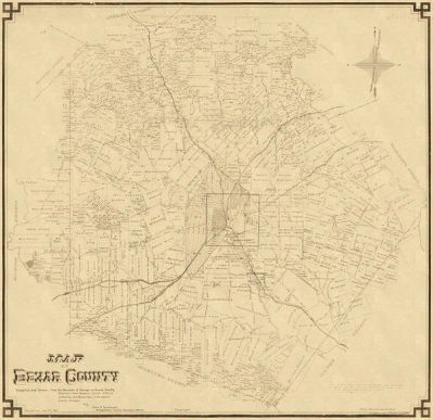
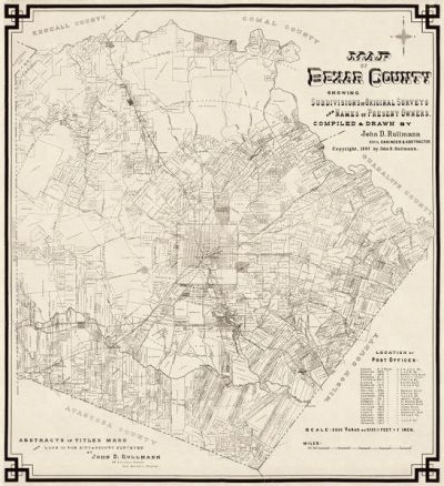
John D. Rullman
Map of Bexar County, 1887
Made in Texas
See options
John D. Rullmann
Map of Bexar County Showing Subdivisions of Original Surveys and Names of...
Made in Texas
See options
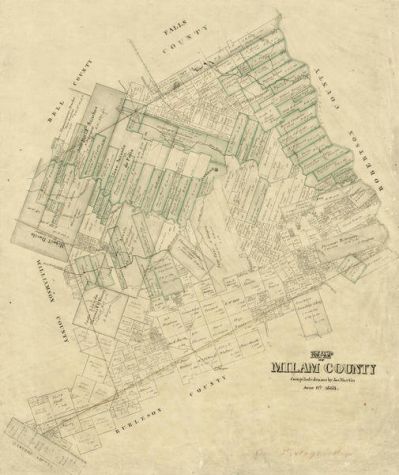
Joseph Martin
Milam County, 1868
Made in Texas
See options
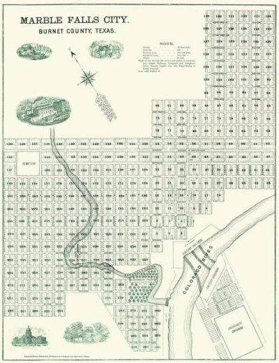
Louis G. Hester
Marble Falls City, Burnet County, Texas, ca. 1890
Made in Texas
See options
M. V. Mittendorfer
A. R. Roessler's Latest Map of the State of Texas, 1874
Made in Texas
See options
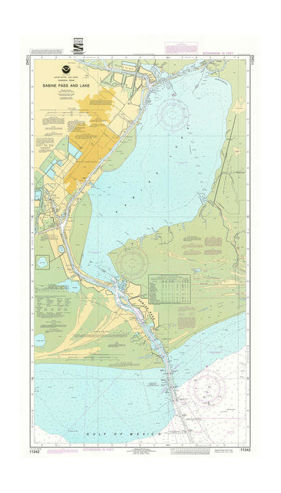
National Oceanic and Atmospheric Administration
Sabine Pass and Lake, 1992
Made in Texas
See options
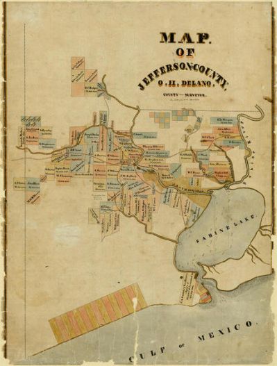
O.H. Delano
Jefferson County, 1840
Made in Texas
See options
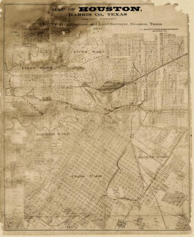
P. Whitty
Houston, Harris County, Texas, 1900
Made in Texas
See options
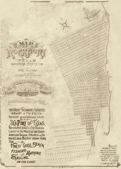
Paul McCombs
Map of Rockport Texas, Aransas County 1888
Made in Texas
See options
R. C. Trimble
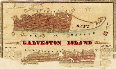
Galveston Island, 1837
Made in Texas
See options
R. Creuzbaur
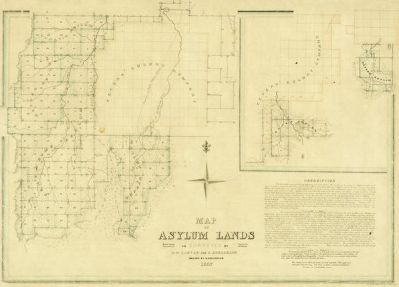
Map of Asylum Lands - Callahan County, 1857
Made in Texas
See options
R. Creuzbaur
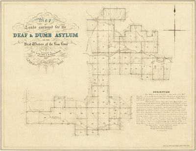
Map of Asylum Lands - Eastland and Comanche Counties, 1857
Made in Texas
See options
R. Creuzbaur
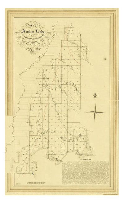
Map of Asylum Lands - Shackelford, Jones, Taylor and Callahan Counties, 1857
Made in Texas
See options
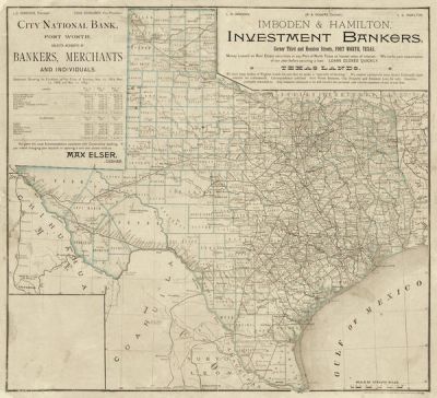
Rand, McNally & Co., Map Publishers
Texas Lands 1889
Made in Texas
See options
Richard S. Hunt and Jesse F. Randel, publishers
Map of Texas Compiled from surveys on record in the General Land Office of...
Made in Texas
See options
S. Augustus Mitchell
New map of Texas : with the contiguous American & Mexican states, 1835
Made in Texas
See options
Schmidt
Aransas County, 1883
Made in Texas
See options
Stephen F. Austin
Map of Texas with Parts of the Adjoining States, 1836
Made in Texas
See options
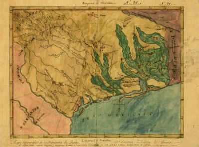
Stephen F. Austin
Mapa topografico de la provincia de Texas, ca 1822
Made in Texas
See options
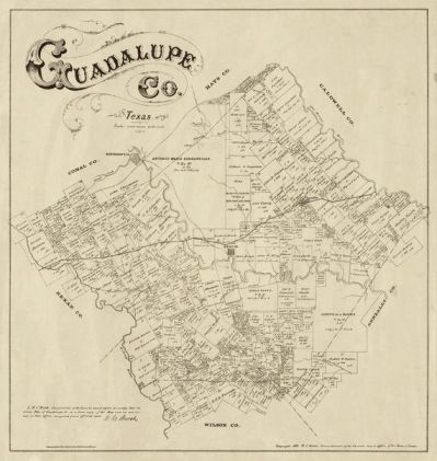
Texas General Land Office
Map of Guadalupe County, Texas 1880
Made in Texas
See options
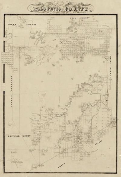
Texas General Land Office
Map of Palo Pinto County 1856
Made in Texas
See options
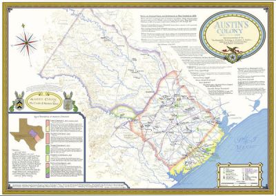
Texas General Land Office Map Collection
Austin's Colony 1821-1836: In Commemoration of the Two Hundredth Birthday of...
Made in Texas
See options
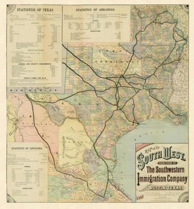
The Southwestern Immigration Company
Map of the Southwest, 1881
Made in Texas
See options
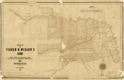
Theodore Fisher
Map of Fisher and Miller's Colony, 1855
Made in Texas
See options
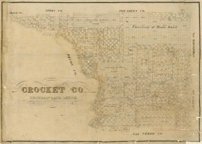
Unknown 19th Century American Mapmaker
Crockett County, ca. Late 1800s
Made in Texas
See options
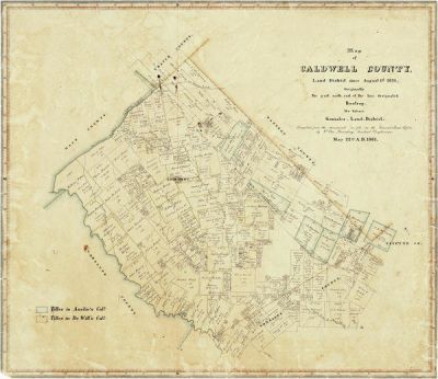
W. von Rosenberg
Map of Caldwell County, 1861
Made in Texas
See options
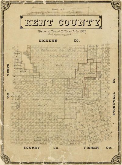
W.S. Porter
Kent County, 1889
Made in Texas
See options
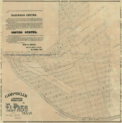
William S. Hills
Campbell's Addition to El Paso, Texas, 1885
Made in Texas
See options
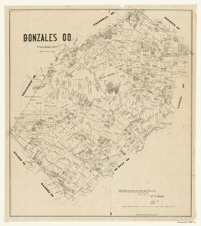
August Gast Bank Note & Lithograph Company
Gonzales County, 1880
See options
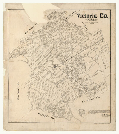
August Gast Bank Note & Lithograph Company
Victoria County, 1879
See options
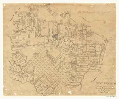
Chas. W. Pressler
Fort Bend County, 1865
See options
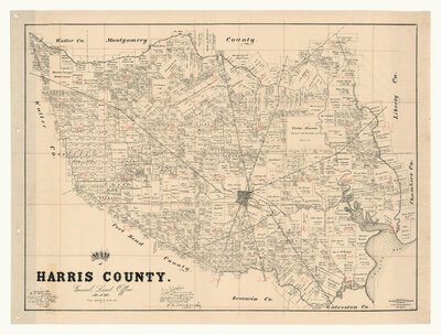
F. G. Blau
Harris County, 1893
See options
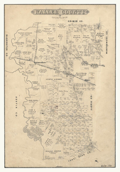
F. G. Blau
Waller County, 1880
See options
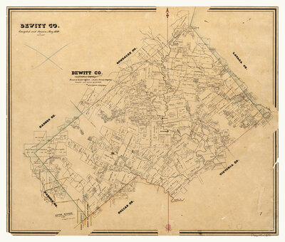
Herman Lungkwitz
DeWitt County, 1870
See options
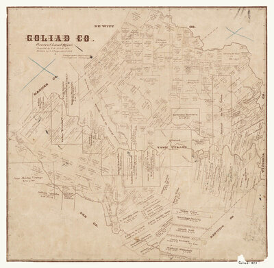
Herman Lungkwitz
Goliad County, 1873
See options
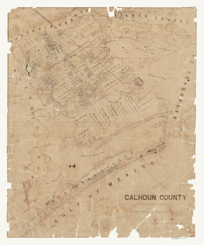
Herman Lunkwitz
Calhoun County, 1871
See options
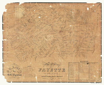
James P. Hudson
Fayette County, 1843
See options
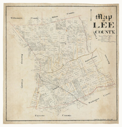
John W. Maxcy
Lee County, 1888
See options
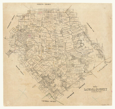
Joseph Martin
Lavaca County, 1866
See options
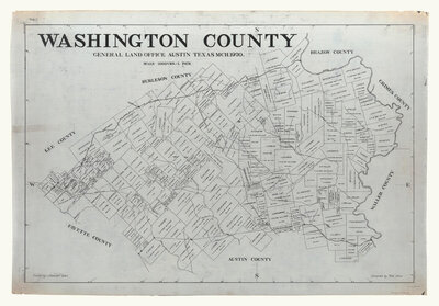
Tom Atlee
Washington County, 1920
See options
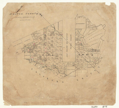
Unknown Draftsman
Austin County, 1879
See options
Unknown Draftsman
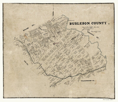
Burleson County, 1884
See options
Unknown Draftsman
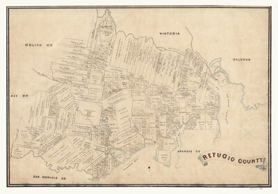
Refugio County, 1883
See options
View as:
Sort by:
Best Match
Price High-Low
Price Low-High
Newest
Oldest
Model A-Z
Model Z-A
Show:
15
25
45
» 100
1-100 of 103
Pages:
1
2
Back to top
Back to navigation
Back to the main content

![H. Groves Map of the Republic of Texas shewing [sic] its division into Counties and Latest Improvements too 1837](/mas_assets/cache/image/e/4/c/400x-3660.Jpg)